- Home
- Products
- Solutions
- MDM Software
- OEM/ODM
-
About Us
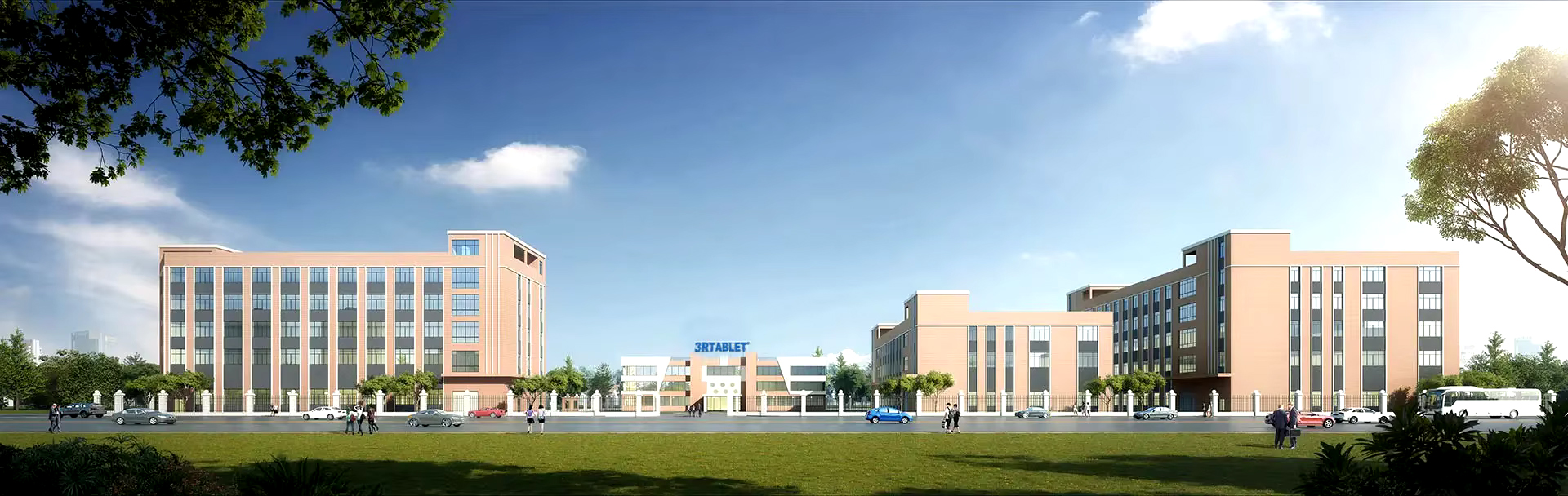
- About 3Rtablet
- Quality Control
- Contact Us
-
News
-
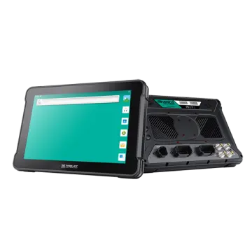
New Product Launch: 3R Rugged Tablet PC: AT-10AL—Powerful Customization with Yocto System
-
3Rtablet: Enhancing Your Off-Road Adventures,Your Ultimate Off-Road Companion
-
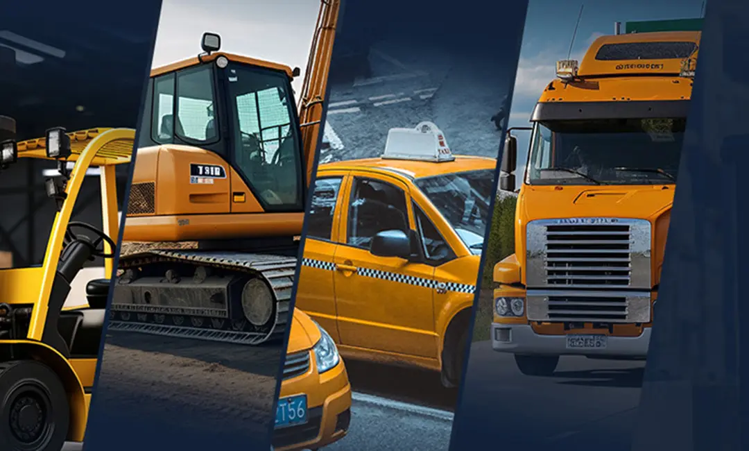
3Rtablet: Powering Productivity in Construction and Agriculture
-
Choosing Your Ideal Linux Rugged Tablet: Why Opt for Yocto?
-
Choosing Your Ideal Linux Rugged Tablet: Why Opt for Debian?
-
Yocto VS Debian - Choosing Between Yocto and Debian
-
GMS Certified Android Device: Ensuring Compatibility, Security and Rich Functions
-
New Arrivals: Rugged Android 12.0 or Linux Yocto OS Vehicle Telematics Box for Vehicle Applications in Various Sectors
-
Rugged Tablet For Taxi Dispatch
-
Rugged Driver Tablets Revolutionize Safety and Efficiency in Mining Operations
-
Rugged In-Vehicle Tablets Power the Growth of IoT Revolution in Modern Industries
-
VT-7A PRO: New Android 13 Rugged Vehicle Tablet with GMS Certification
-
Taxi Dispatch Rugged Vehicle Tablet: Taximeter Ruggedized Car Tablet PC with CANBUS MDT Terminal Is Bound to Make an Impact in Your Business
-
Sick and Tired of Doing Fleet Management the Old Way? Read This! Discover Smarter Solutions with MDT Terminals, Rugged Vehicle Tablets, MDM Platforms, and More
-
Global Memory Supply Faces Severe Disruptions Amid AI-Driven Demand Surge
-
Public Transportation Transformation Accelerates: Rugged Tablets Become the Brain of the Smart Bus
-
Smart Anti-Collision System Unveiled: Rugged Tablet Integrates Advanced Al Pedestrian Detection Reversing Camera Technology
-
Driving Forward Together | Merry Christmas from 3Rtablet
-
Experience Durability: How 3Rtablet Redefines the Standards of a China Leading 7 Inch Tablet Rugged Factory
-
A Comprehensive Buyer’s Guide to Selecting a China Leading IP67 Rugged Devices Supplier
-
- FAQs
 AT-10A
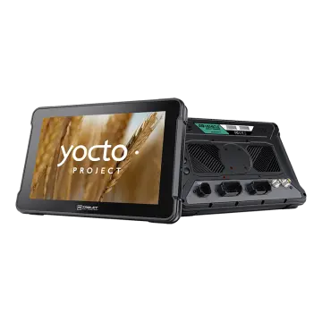 AT-10AL
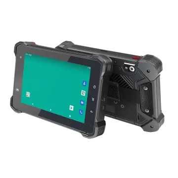 VT-7 GA/GE
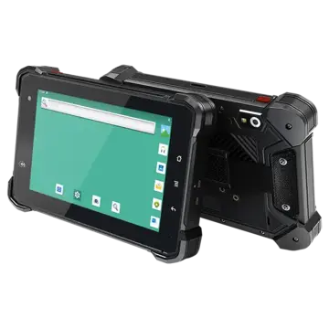 VT-7 Pro
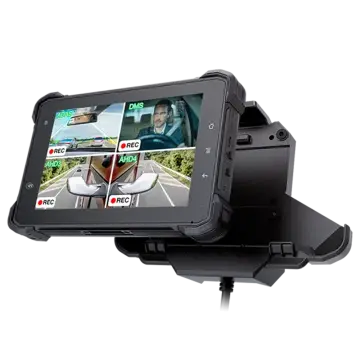 VT-7 PRO (AHD)
 VT-7A
VT-7A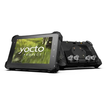 VT-7AL
 VT-10
VT-10 VT-10 IMX
 VT-10 Pro
 VT-10 Pro AHD
 VT-7
VT-7 VT-7A PRO
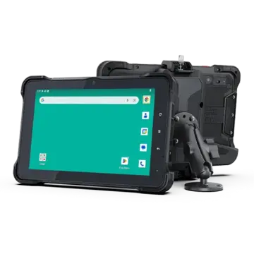 VT-10A Pro
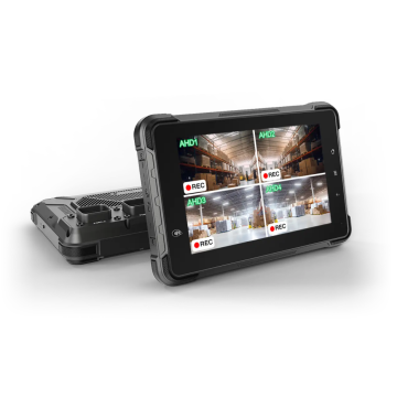 ST-7 Rugged Table
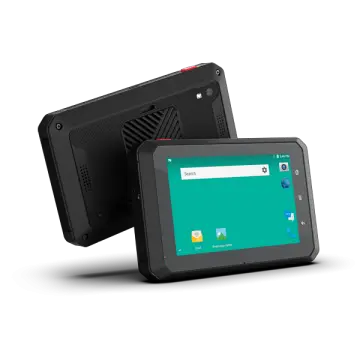 VT-5A
VT-5A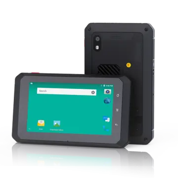 VT-5
VT-5 VT-BOX
 VT-BOX-II
 AI-MDVR040
 AT-B2
AT-B2 AT-R2
AT-R2
Leave Your Message