The Evolution of High-Precision GNSS Surveying
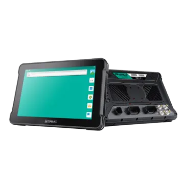
In the rapidly evolving landscape of geospatial data collection, the demand for centimeter-level accuracy has never been higher. The integration of an Android Tablet IP67 GPS Navigator 4G into High-Precision GNSS Surveying workflows represents a monumental leap forward for industrial, agricultural, and construction applications. Unlike traditional, bulky surveying equipment, modern rugged tablets combine the computational power of the Android operating system, the unyielding durability of IP67 certification, and the seamless connectivity of 4G LTE networks. This synergy enables surveyors, engineers, and field workers to capture, process, and transmit critical RTK (Real-Time Kinematic) data in real-time, regardless of environmental extremes.
High-precision GNSS (Global Navigation Satellite System) surveying relies heavily on receiving continuous correction data to mitigate atmospheric errors and satellite orbit discrepancies. Traditionally, this required localized base stations and UHF radios. Today, the modern surveyor utilizes NTRIP (Networked Transport of RTCM via Internet Protocol) clients running on robust Android tablets. By leveraging reliable 4G connectivity, these tablets connect to CORS (Continuously Operating Reference Stations) networks, delivering hyper-accurate correction data directly to the rover via Bluetooth or serial ports. This architectural shift has drastically reduced equipment costs while significantly enhancing operational mobility.
Commercial and Industrial Status of Rugged GNSS Tablets
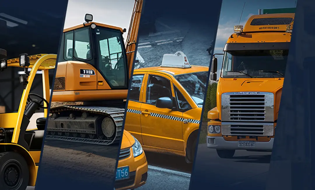
The global market for rugged industrial tablets and high-precision GNSS equipment is experiencing unprecedented growth. As infrastructure projects scale globally and precision agriculture becomes the standard rather than the exception, the commercial necessity for reliable field hardware has surged. Consumer-grade tablets, while powerful, unequivocally fail in industrial surveying contexts. They succumb to screen glare under direct sunlight, thermal throttling in high temperatures, battery degradation in freezing climates, and catastrophic failure upon exposure to water and dust.
This is where the IP67 rating becomes non-negotiable. An IP67-certified Android tablet is completely protected against dust ingress and can withstand submersion in water up to 1 meter for 30 minutes. Furthermore, these devices undergo rigorous MIL-STD-810G testing to resist drops, shocks, and intense vibrations—commonplace occurrences when mounted on heavy machinery like bulldozers, excavators, or tractors. Commercially, fleet operators and surveying firms are realizing that the Total Cost of Ownership (TCO) of a rugged 4G GPS navigator is significantly lower than constantly replacing broken consumer devices. The industrial status quo has shifted towards investing in purpose-built, ruggedized mobile edge devices that ensure zero downtime in mission-critical surveying tasks.
📡
4G LTE NTRIP Connectivity
Seamlessly stream RTCM correction data from CORS networks via robust 4G LTE, ensuring continuous centimeter-level RTK accuracy without the need for traditional UHF radios.
⛑
IP67 Extreme Durability
Engineered for the harshest environments. Total dust protection and water resistance guarantee operational stability in mud, rain, and heavy construction sites.
📈
Android Edge Computing
Leverage the open Android ecosystem to run advanced GIS mapping software, processing massive point clouds and topographic data directly at the edge.
Deep-Dive Application Scenarios
1. Land and Cadastral Surveying
In traditional land surveying, defining property boundaries, topographical mapping, and construction staking require absolute precision. Surveyors equipped with an Android Tablet IP67 GPS Navigator 4G paired with an RTK rover can navigate complex terrains with ease. The tablet's sunlight-readable display allows for clear visibility of complex CAD drawings and GIS layers in the field. Using 4G connectivity, surveyors can instantly sync collected points to cloud servers, allowing drafting teams back in the office to begin creating deliverables before the surveyor has even left the site. The rugged nature of the tablet ensures that a sudden downpour or an accidental drop onto jagged rocks does not result in catastrophic data loss.
2. Precision Agriculture and Machine Control
The agricultural sector has been revolutionized by high-precision GNSS. When an IP67 Android tablet is mounted inside the cabin of a tractor, it serves as the brain for auto-steering and variable rate application systems. Connected to a GNSS receiver, the tablet guides the machinery with sub-inch accuracy, minimizing overlap during planting, spraying, and harvesting. This not only saves immense amounts of fuel, seeds, and fertilizers but also reduces operator fatigue. The intense vibrations of agricultural machinery and the dusty environment of a field require the strict IP67 standard, while the 4G capability allows farm managers to monitor machine telemetry and yield maps in real-time remotely.
3. Mining and Heavy Construction
Open-pit mining and large-scale earthmoving operations rely on 3D machine control. An Android rugged tablet acts as the primary interface for operators of excavators and bulldozers. By receiving high-precision GNSS data, the tablet displays a 3D model of the terrain relative to the machine's blade or bucket. Operators can perform complex grading tasks without the need for traditional surveyor stakes. In these environments, shock resistance and IP67 protection are critical, as the tablets are exposed to constant shockwaves from blasting, thick silica dust, and extreme temperature fluctuations. The integrated 4G GPS navigator also plays a vital role in fleet management, tracking the precise location of haul trucks to optimize routing and prevent collisions.
4. Drone (UAV) Ground Control Stations
As drones become a staple in aerial photogrammetry and LiDAR surveying, the need for robust ground control stations (GCS) has emerged. An IP67 Android tablet serves as the perfect GCS. It provides the processing power required to run flight planning applications (like QGroundControl or Mission Planner) and the brightness needed to view live video feeds outdoors. The tablet's 4G connection can broadcast the drone's RTK corrections, ensuring the captured aerial data is perfectly georeferenced for creating highly accurate 3D orthomosaics and digital elevation models (DEMs).
Future Development Trends in GNSS Tablet Technology
The trajectory of high-precision GNSS surveying equipment is pointing heavily towards the integration of Artificial Intelligence (AI) and 5G/LEO satellite communications. While current 4G LTE provides excellent coverage for NTRIP services, the rollout of 5G will enable the real-time transmission of massive LiDAR point clouds from the field directly to cloud AI processors. Furthermore, the integration of Low Earth Orbit (LEO) satellite communications directly into Android tablets will soon eliminate the "dead zones" where cellular coverage is absent, providing uninterrupted RTK corrections globally.
AI edge computing is another massive trend. Future iterations of these Android tablets will feature dedicated Neural Processing Units (NPUs). This will allow the tablet itself to run AI algorithms on the fly—for example, automatically identifying and categorizing assets (like utility poles or road signs) from camera feeds and tagging them with high-precision GNSS coordinates instantly. Additionally, multi-sensor fusion, where the tablet's internal IMU (Inertial Measurement Unit) works in tandem with the GNSS receiver, will allow for accurate surveying even in GNSS-denied environments like urban canyons or dense forest canopies.
In conclusion, the Android Tablet IP67 GPS Navigator 4G is no longer just a display screen; it is the central nervous system of High-Precision GNSS Surveying. By combining rugged reliability, seamless connectivity, and high-performance computing, these devices are drastically lowering the barrier to entry for centimeter-level accuracy, driving efficiency, safety, and profitability across the world's most demanding industries.
 AT-10A
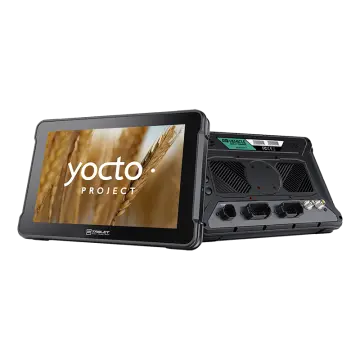 AT-10AL
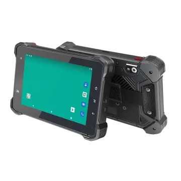 VT-7 GA/GE
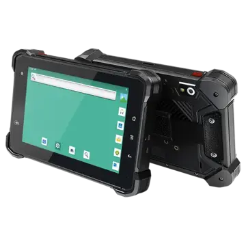 VT-7 Pro
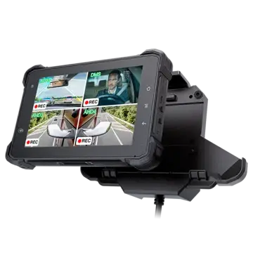 VT-7 PRO (AHD)
 VT-7A
VT-7A VT-7AL
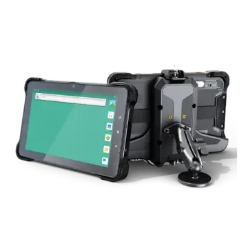 VT-10
VT-10 VT-10 IMX
 VT-10 Pro
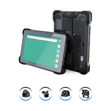 VT-10 Pro AHD
 VT-7
VT-7 VT-7A PRO
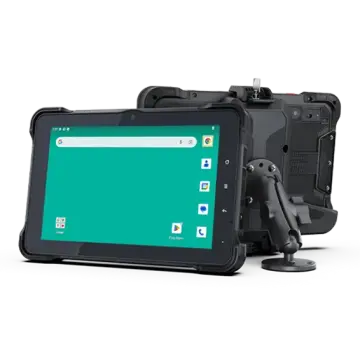 VT-10A Pro
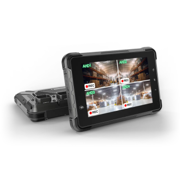 ST-7
ST-7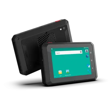 VT-5A
VT-5A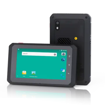 VT-5
VT-5 VT-BOX
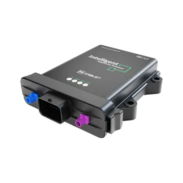 VT-BOX-II
 AI-MDVR040
 AT-B2
AT-B2 AT-R2
AT-R2