Leave Your Message
Survey-Grade Computing Solutions

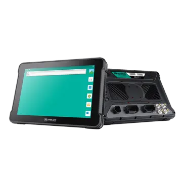
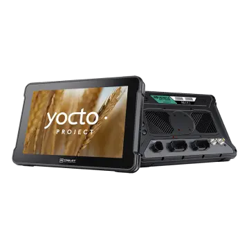
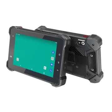
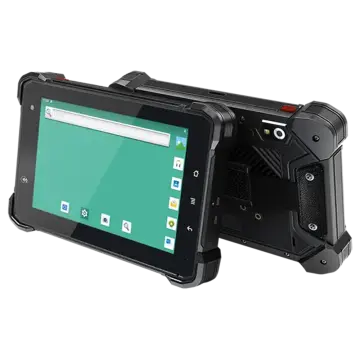
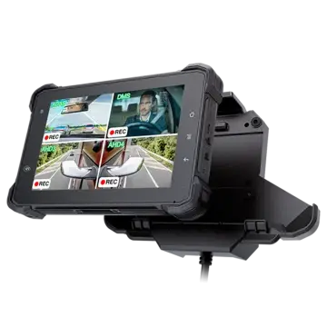
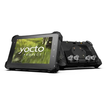
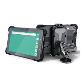
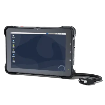
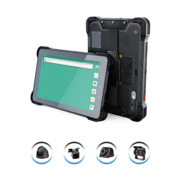
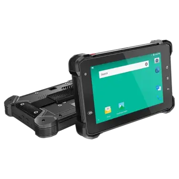
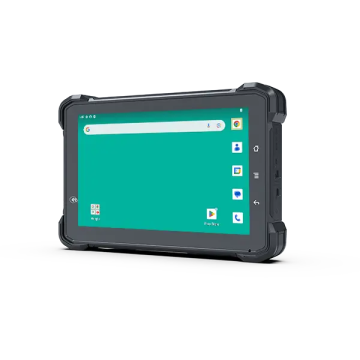
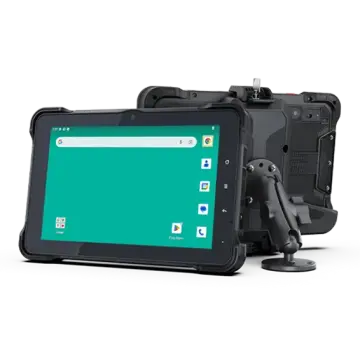
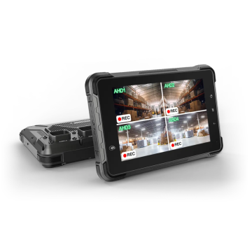
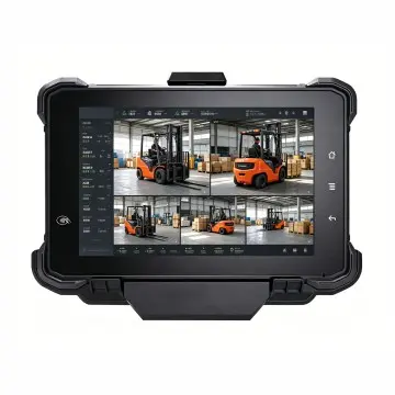
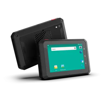
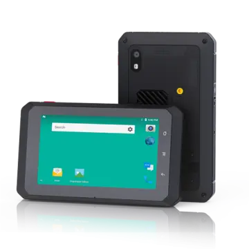
7 Inch Android 11.0 Rugged Tablet GMS For High-Precision GNSS Surveying

Engineered for geospatial engineers, land surveyors, and precision agriculture specialists requiring multi-constellation RTK accuracy, IP67 ruggedness, and certified Google Mobile Services in extreme environments.

Industry Intelligence

Commercial Landscape of High-Precision GNSS Surveying Terminals

How modernized mobile operating systems and rugged silicon are disrupting traditional surveying data collectors.

◆

Migration from Legacy OS to Android 11

Traditional surveying hand-terminals often relied on closed, proprietary OS or deprecated Windows Mobile platforms. The geospatial industry has rapidly pivoted towards Android 11.0, enabling lightning-fast rendering of dense vector maps, complex 3D BIM layers, and unconstrained software compatibility across GIS suites.

★

Google Mobile Services (GMS) Certification

GMS enterprise verification ensures seamless execution of Google Play Services, real-time Google Cloud synchronization, enterprise Mobile Device Management (MDM) security protocols, and unrestricted access to professional surveying applications like ArcGIS Field Maps, QField, SurPad, and LandStar.

⚙

Convergence of RTK & Compact Mobility

Modern surveying demands centimeter-level accuracy without the burden of heavy, disjointed controllers. A 7-inch rugged tablet bridges the gap between field-portability and high-readability visual diagnostics, allowing operators to run base-station telemetry, CORS network corrections, and real-time stakeout calculations simultaneously.

Core Architecture

Engineered for Millimeter Reliability Under Challenging Sky Conditions

Modern high-precision GNSS surveying requires sophisticated hardware integration capable of tracking multiple satellite constellations simultaneously. The 7-inch Android 11.0 rugged tablet incorporates dedicated RF shielding, precision ceramic patch antennae or external high-gain SMA connectivity, and multi-band tracking covering GPS (L1/L2/L5), GLONASS (G1/G2), BeiDou (B1I/B2I/B3I/B1C/B2a), and Galileo (E1/E5a/E5b).

By pairing high-end NXP or Qualcomm multi-core processing architecture with optimized Android kernel optimizations, the device effortlessly handles intensive point cloud processing, RTCM 3.X differential stream decoding, and real-time coordinate transformations (such as UTM, WGS84, and localized grid projections) without frame drop or battery throttling.

Key Architectural Highlights:

  • Sunlight-Readable Display: 800 to 1000 nits high-luminance optical bonding display with anti-reflective glass for flawless sunlight viewing.
  • All-Weather Glove & Wet Touch: Multi-point capacitive touch sensor supporting heavy work gloves and rain-mode operation without phantom clicks.
  • Industrial I/O & Expansion: RS232/RS485 serial ports, CAN bus (J1939/ISO 11783), OTG USB, RTK antenna pass-through, and vehicle docking pin connectors.
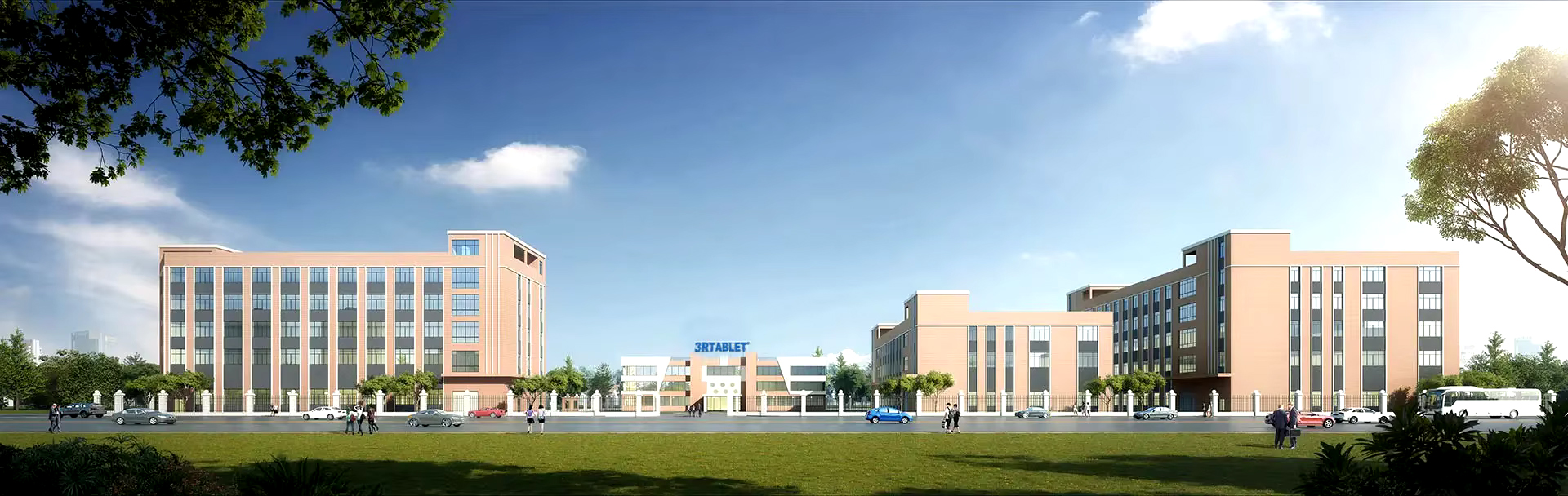
3Rtablet Rugged Tablet Manufacturing
18+ Years
Industrial Manufacturing Heritage
Field Applications

Deep-Dive Geospatial & Telematics Use Cases

From rugged alpine boundary surveys to automated tractor auto-steering, discover how our 7-inch rugged Android terminal delivers unmatched versatility.

▶

Cadastral & Boundary Surveying

Enables surveyors to record legal parcel boundaries with sub-centimeter RTK accuracy. High-speed 4G LTE/5G networking allows field crews to sync data instantly with national cadastral databases and municipal land administration servers.

▶

Precision Agriculture Auto-Steering

Installed inside tractor cabs via rugged quick-release mounts, the tablet acts as the human-machine interface (HMI) for automated guidance, section control, variable rate fertilizer distribution, and yield mapping using ISO 11783 CAN bus.

▶

Civil Construction Stakeout & BIM

Contractors import AutoCAD DXF and Revit IFC files directly to the field. The 7-inch Android 11.0 tablet guides operators during grade checking, road cross-section leveling, and foundation pile positioning in real time.

▶

Underground Utility & Pipeline GIS

Paired with Ground Penetrating Radar (GPR) or electromagnetic locators via Bluetooth 5.1/Wi-Fi, the rugged tablet marks the exact spatial depth and coordinates of water pipes, gas lines, and fiber-optic backbones.

▶

Mining & Heavy Earthmoving Fleet

Designed to withstand continuous 20G shock and vibration in quarry dumpers and excavators, providing real-time volume cut/fill calculation, safety boundary alarms, and automated telematics reporting.

▶

Environmental & Forestry Mapping

Thick canopy penetration with advanced multi-path mitigation algorithms. Forest rangers and conservationists utilize long-life hot-swappable batteries for all-day field data collection in remote wilderness areas.

About 3Rtablet

3Rtablet is a Globally Leading Rugged Tablet Manufacturer

Technology-based, market-oriented, innovative enterprise that develops and manufactures rugged Internet of Vehicles (IOV) terminals and IOT system solutions.

With more than 18 years of professional experience, 3Rtablet has cooperated with many top brand telematics solution providers around the world, and the products are widely recognized for their stable performance and professional technical support.

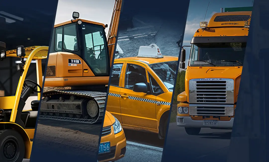
The main products include IP67 rugged tablets, MDM Rugged Device, Intelligent Vehicle Telematics Terminal, and RTK Base Station and Receiver, On-board Computers, Mobile Data Terminal, Agriculture display, Vehicle-mounted Tablets, AHD Camera Integrated Tablets, IP67/IP69K Android telematics boxes, MDVR and AI Dashcam. AI algorithmic vehicle video surveillance and recording technology and comprehensive IoT solutions for a wide range of fleet management application, including ELD/HOS in trucks, construction equipment, mining, forklift safety, taxi dispatch, agriculture precision, intelligent transportation systems, etc. Offering OEM/ODM services, we customize products to meet specific needs.

Regions We Serve

Regions We Serve

3Rtablet has served customers among more than 70 countries in North America, Europe, Latin America, Oceania, Africa, and the Asia Pacific region.

Industries We Related

Industries We Related

Fleet Management, Precision Agriculture, Mining, Taxi Dispatch, Forklift Safety, Construction, Public Transportation, Heavy Machinery & Trucks, Crane, Waste management, Vehicle tracking’s and Emergency Response Solutions etc.

Service We Provide

Service We Provide

3Rtablet's Hardware devices are mainly powered by NXP, Qualcomm, TI solutions, Functional requirements, Hardware test-bed evaluation, Schematic diagram design, Brand requirements for more requirements, please refer to OEM/ODM service.

// OUR BUSINESS // Our Value

3Rtablet follows innovative technologies, complete solutions, friendly products, excellent quality, and professional services to continuously improve product quality and customer satisfaction, delivering customers with Rugged, Reliable, and Ready Internet of Vehicle (IOV) devices. 3Rtablet has three core values at the heart of its operation: We are ‘Sincere’, we ‘Share’ and always strive for ‘Success’ with our business partners.

Engineering Parameters

Technical Specification Overview

High-level parameters designed to satisfy the rigorous demands of professional GIS surveyors and field telemetry teams.

Feature Category Technical Specification Field Benefit
Operating System Android 11.0 with Official GMS Certification Seamless access to Google Play, Google Maps APIs, and enterprise MDM software.
Display & Luminance 7.0 inch IPS High-Definition (1280x800 / 1920x1200), 800+ Nits Crystal clear readability in direct sunlight, wet finger & glove touch support.
GNSS & Positioning GPS / GLONASS / Galileo / BeiDou (Quad-Constellation RTK option) Centimeter to decimeter positioning accuracy in high-multipath urban and forest canyons.
Processing Engine Qualcomm Octa-Core / NXP i.MX Automotive Grade Platform High-speed computational throughput for real-time 3D CAD rendering and image stitching.
Environmental Sealing IP67 Ingress Protection & MIL-STD-810H Shock/Vibration Certified Complete dust ingress prevention, submersible up to 1m, 1.2m drop survival.
I/O & Interfaces RS232, RS485, CAN Bus 2.0B / ISO 11783, USB Type-C OTG, Pogo-Pin Docking Direct communication with precision agricultural tractors, total stations, and survey radios.
Battery & Endurance High-Capacity Li-ion with Smart Battery Management & Hot-Swap Capability Guaranteed 8 to 12 hours continuous active screen-on surveying operation.
Knowledge Base

Frequently Asked Questions

Key insights into deploying 7-inch Android 11.0 tablets for surveying and GNSS positioning.

Why is GMS certification critical for survey data collectors?

Google Mobile Services (GMS) ensures device security, Google Play Store accessibility, regular OS security patches, and effortless integration with Google location APIs, GIS map layers, and modern fleet MDM management suites.

Can this 7-inch rugged tablet connect to external RTK antennas?

Yes. Our rugged tablets feature dedicated RF pass-through connectors (SMA/TNC) and internal high-precision GNSS modules, allowing direct link to external survey-grade geodetic antennas and RTK base/rover setups.

How does the screen perform in heavy rain or wet conditions?

The screen utilizes advanced capacitive sensing firmware that dynamically rejects water droplets while accurately recognizing human finger touch or passive/active stylus input, ensuring uninterrupted field operation.

Do you offer OEM / ODM customizations for specialized survey software?

Yes, 3Rtablet specializes in deep hardware and firmware customization—including custom boot logos, OS lockdown (kiosk mode), dedicated sensor integration, customized I/O interfaces, and specialized mounting brackets.