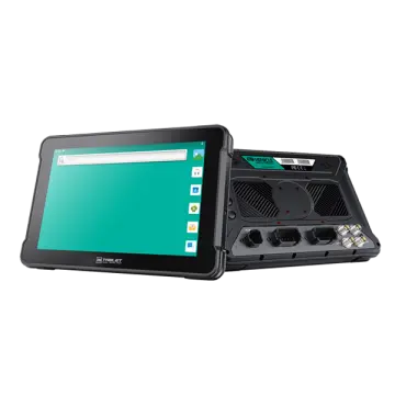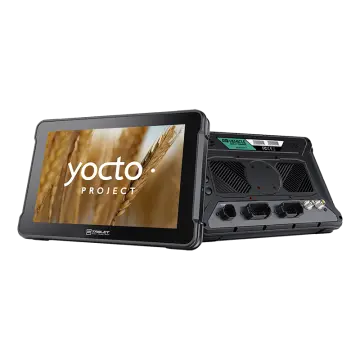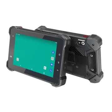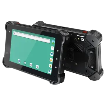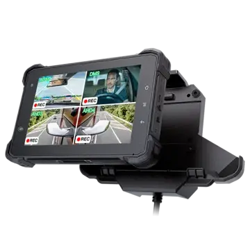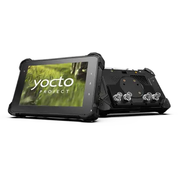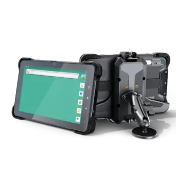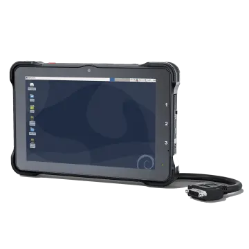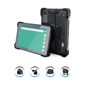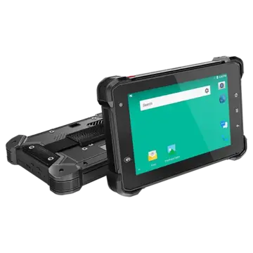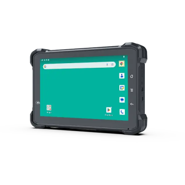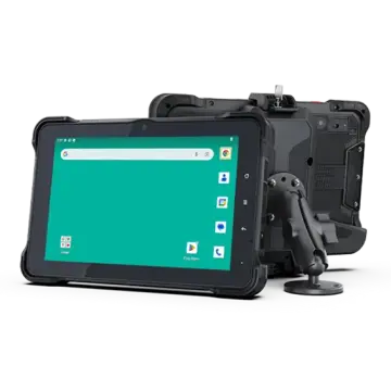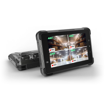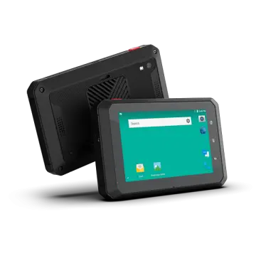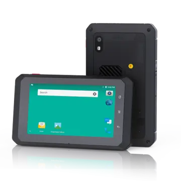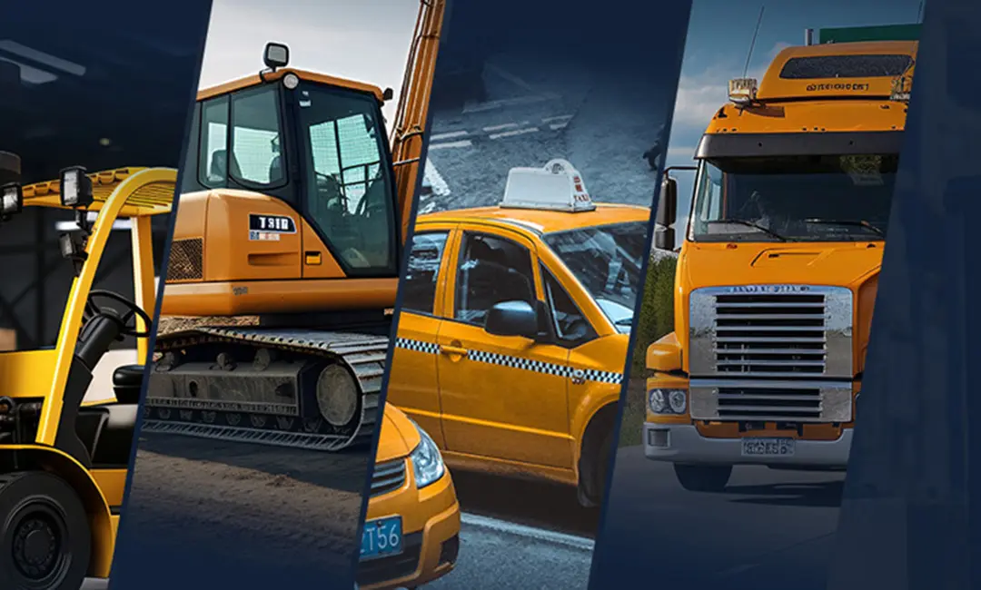
In the modern industrial landscape, the demand for centimeter-level accuracy is no longer confined to traditional land surveying. From autonomous tractors in precision agriculture to complex structural monitoring in civil engineering, the Industrial Android Rugged Tablet for High-Precision GNSS Surveying has become the cornerstone of digital transformation. The global geospatial industry is witnessing a massive shift from proprietary, closed-loop handheld devices to open-architecture Android platforms. This transition allows for seamless integration of Real-Time Kinematic (RTK) technology with versatile mobile applications, enabling field workers to collect, process, and transmit high-fidelity data in real-time.
The current industrial status reflects a growing reliance on "All-in-One" solutions. Engineers and surveyors no longer want to carry a separate GNSS receiver, a data logger, and a communication radio. They demand a single, ruggedized device that combines a high-performance processor, a sunlight-readable display, and multi-constellation GNSS capabilities (GPS, GLONASS, Galileo, and BeiDou). This integration reduces equipment costs, minimizes points of failure, and significantly accelerates project timelines.
Native support for RTK corrections ensures centimeter-level horizontal and vertical accuracy for demanding surveying tasks.
Designed to withstand extreme temperatures, vibrations, and drops, meeting IP67 and MIL-STD-810H standards.
Access to a vast array of GIS, surveying, and fleet management apps, offering unparalleled flexibility compared to legacy OS.
In the agricultural sector, high-precision GNSS tablets are mounted in tractor cabs to manage auto-steering systems. By utilizing RTK corrections, these tablets ensure that farming equipment follows a path with less than 2.5cm of error. This prevents overlap, reduces fuel consumption, and optimizes the application of seeds and fertilizers. The rugged nature of these tablets is critical here, as they must endure the constant vibration of heavy machinery and the dusty environment of the field.
On construction sites, the Industrial Android Rugged Tablet acts as the bridge between Building Information Modeling (BIM) software and the physical site. Surveyors use these tablets to stake out foundations, check grade levels, and verify the placement of structural elements against digital blueprints. The ability to overlay GNSS data onto 3D models in real-time allows for immediate error detection, saving thousands of dollars in rework.
In open-pit mining, safety and efficiency depend on knowing the exact location of every asset. High-precision tablets are used for fleet dispatching and high-precision shovel/drill guidance. They help operators maintain precise excavation limits and ensure that haul trucks follow the most efficient routes, all while providing the durability needed to survive the harsh, high-vibration environment of a mine.
Utility companies use rugged GNSS tablets to map underground infrastructure like gas lines, water pipes, and fiber optic cables. With high-precision positioning, field crews can record the exact coordinates of assets before they are buried. This data is vital for future maintenance and preventing accidental damage during subsequent excavations.
The future of Industrial Android Rugged Tablets for High-Precision GNSS Surveying is being shaped by several key technological advancements:
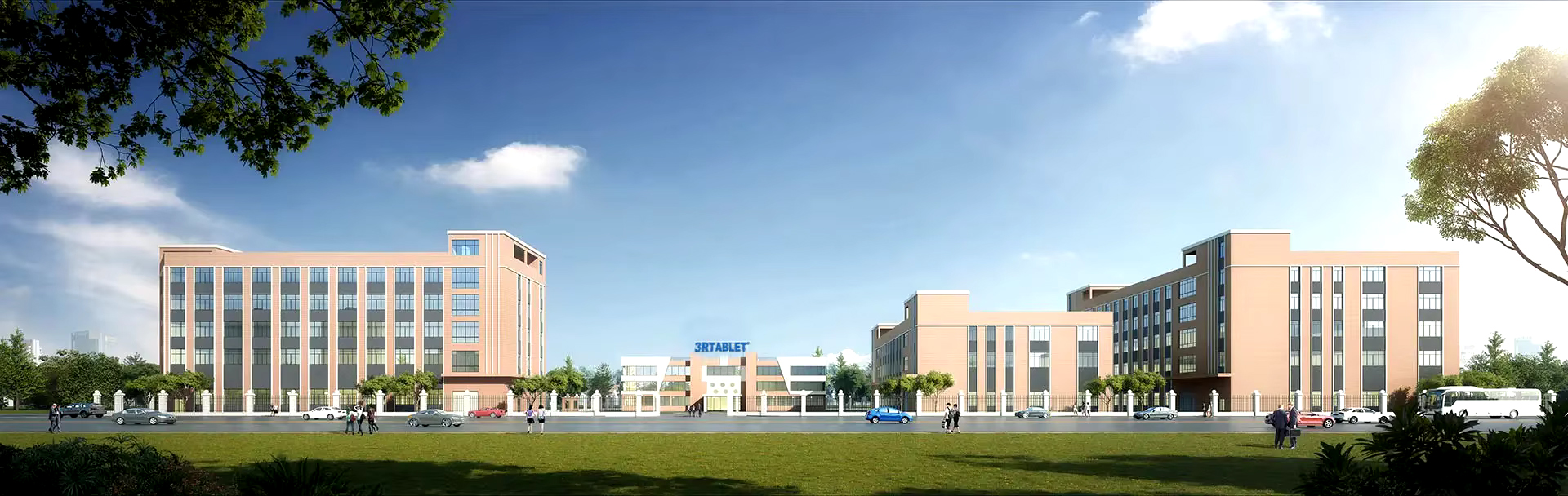
Technology-based, market-oriented, innovative enterprise that develops and manufactures rugged Internet of Vehicles (IOV) terminals and IOT system solutions. With more than 18 years of professional experience, 3Rtablet has cooperated with many top brand telematics solution providers around the world, and the products are widely recognized for their stable performance and professional technical support.
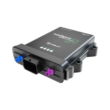
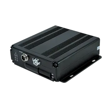
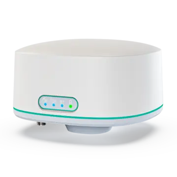
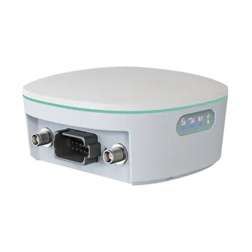
The main products include IP67 rugged tablets, MDM Rugged Device, Intelligent Vehicle Telematics Terminal, and RTK Base Station and Receiver, On-board Computers, Mobile Data Terminal, Agriculture display, Vehicle-mounted Tablets, AHD Camera Integrated Tablets, IP67/IP69K Android telematics boxes, MDVR and Al Dashcam. Al algorithmic vehicle video surveillance and recording technology and comprehensive loT solutions for a wide range of fleet management application, including ELD/HOS in trucks, construction equipment, mining, forklift safety, taxi dispatch, agriculture precision, intelligent transportation systems, etc. Offering OEM/ODM services, we customize products to meet specific needs.

3Rtablet R&D team with more than 18 years field experience to do technical support, and has been ready to support you in building professional solutions in specific markets.


3Rtablet follows innovative technologies, complete solutions, friendly products, excellent quality, and professional services to continuously improve product quality and customer satisfaction, delivering customers with Rugged, Reliable, and Ready Internet of Vehicle (IOV) devices. 3Rtablet has three core values at the heart of its operation: We are ‘Sincere’, we ‘Share’ and always strive for ‘Success’ with our business partners.
When selecting an Industrial Android Rugged Tablet for High-Precision GNSS Surveying, several technical parameters determine the success of field operations. At 3Rtablet, we focus on the synergy between high-performance hardware and precision positioning modules.
High-precision surveying requires more than just a basic GPS signal. Our tablets support L1, L2, and L5 frequencies across all major constellations. This multi-frequency capability allows the device to resolve the ionospheric delay, which is the largest source of error in GNSS positioning. By receiving signals from GPS (USA), GLONASS (Russia), Galileo (Europe), and BeiDou (China) simultaneously, our tablets maintain a "fixed" RTK solution even in challenging environments where half the sky might be blocked by buildings or canopy.
Processing spatial data requires significant computational power. We utilize NXP i.MX and Qualcomm Snapdragon processors to ensure that GIS software runs smoothly, even when handling large raster maps or complex vector layers. These processors are specifically chosen for their thermal efficiency, ensuring the tablet doesn't throttle performance during mid-day operation in hot climates like Australia or the Middle East.
A surveying tablet is useless if the screen cannot be read in direct sunlight. Our industrial tablets feature high-brightness displays (up to 1000 nits) with optical bonding technology. This reduces internal reflections and enhances contrast, making the data clearly visible even under the harshest midday sun. Furthermore, the capacitive touchscreens are optimized for "wet finger" or "gloved" operation, essential for rainy days or cold-weather surveying.
While many claim to be "rugged," 3Rtablet products are built from the ground up for industrial use. This includes internal magnesium alloy frames for structural rigidity, reinforced I/O ports (often using M12 connectors for vehicle integration), and chemically strengthened glass. Our IP67 and IP69K ratings mean the device can be pressure-washed or dropped into a muddy trench without skipping a beat. This reliability is why we have been a trusted partner for 18 years in industries where downtime is not an option.
In conclusion, the Industrial Android Rugged Tablet for High-Precision GNSS Surveying is more than just a tool; it is a sophisticated data hub that empowers industries to work faster, safer, and with unprecedented accuracy. Whether you are leveling a field, mapping a city's assets, or guiding a 50-ton excavator, 3Rtablet provides the rugged, reliable, and ready technology you need to succeed.