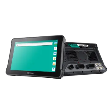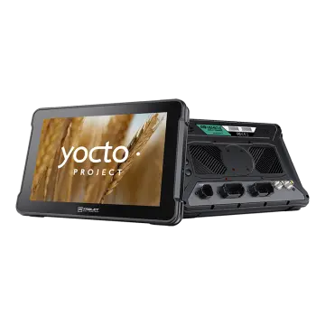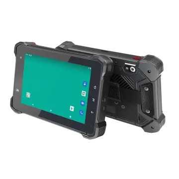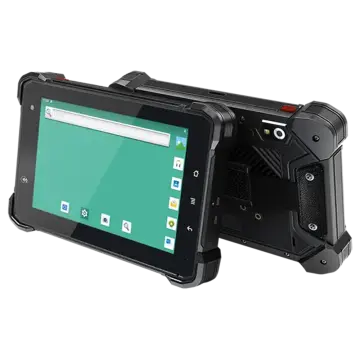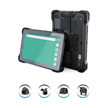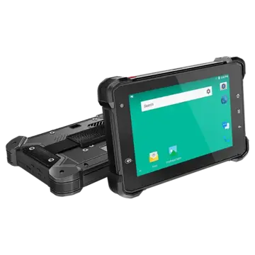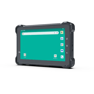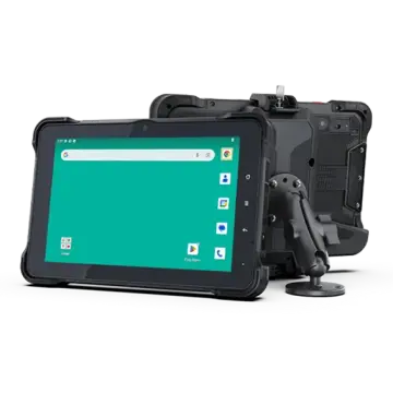
Rugged, versatile, and engineered for seamless field integration with RTK and positioning systems.
The global geospatial industry has undergone a massive paradigm shift. Historically, high-precision GNSS surveying relied on expensive, proprietary handheld data collectors running closed operating systems. Today, the market has decisively shifted toward OEM Android tablets designed for high-precision GNSS surveying. This transition is driven by the need for open software ecosystems, cost efficiency, and multi-functional hardware capabilities. Android has emerged as the operating system of choice for modern field workers due to its intuitive user interface, robust API support, and seamless cloud synchronization capabilities.
In commercial sectors such as civil engineering, infrastructure inspection, and land surveying, time is directly tied to profitability. Traditional surveying setups required multiple devices: a dedicated GNSS controller, a separate camera for site documentation, and a laptop back at the vehicle to process and upload CAD or GIS files. Modern rugged OEM Android tablets consolidate all these workflows into a single unit. They feature integrated multi-frequency GNSS boards, high-resolution cameras, and 4G/5G cellular modems, allowing field surveyors to capture centimeter-level data, document site conditions, and sync data directly with office-based CAD systems in real-time.
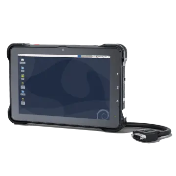
As geospatial projects grow in scale and complexity, system integrators and software developers require custom hardware configurations. OEM/ODM Android tablets allow companies to customize everything from serial port layouts (RS232/RS485) and custom ROMs to integrated RTK modules and branded enclosures, meeting specific operational standards for mining, agriculture, and construction.
Furthermore, the industrial demand for ruggedized computing has led to strict hardware requirements. Standard consumer tablets fail within days under harsh outdoor conditions. Industrial-grade OEM Android tablets are engineered to withstand drops onto concrete, immersion in water, and exposure to fine dust particles. With IP67 and IP69K ratings, these tablets are built to operate reliably in pouring rain, desert heat, and freezing sub-zero environments, ensuring uninterrupted data collection in any field scenario.
High-precision GNSS surveying is no longer limited to basic GPS tracking. Modern projects require multi-constellation and multi-frequency tracking (GPS L1/L2/L5, GLONASS G1/G2, Galileo E1/E5a/E5b, and BeiDou B1/B2/B3) to ensure fast initialization and high accuracy in challenging environments. The integration of these advanced GNSS receivers with Android tablets is supported by several key technological trends:
To achieve centimeter-level accuracy, GNSS tablets rely on RTK technology. This involves receiving correction data from a local base station or a network of reference stations (CORS) via the NTRIP protocol. OEM Android tablets utilize high-speed 4G/5G and Wi-Fi modules to maintain stable connections with NTRIP servers, delivering real-time positioning corrections directly to mapping and GIS software.
Enterprise deployments require secure and controlled software environments. OEM Android tablets allow for custom ROM development, enabling companies to lock down the operating system (Kiosk Mode), pre-install surveying software, disable unnecessary consumer applications, and manage security updates remotely via MDM platforms. This ensures field workers stay focused on data collection and prevents unauthorized software installations.
Outdoor readability is a critical factor for field surveying. OEM tablets utilize high-brightness displays (often exceeding 800 to 1000 nits) with optical bonding technology to minimize reflection. Additionally, advanced touch screens support wet-finger and glove-touch operations, allowing surveyors to input data in rain, snow, or dusty environments without removing their protective gear.
From precision farming to open-pit mining, discover how rugged Android hardware powers high-precision spatial tracking.
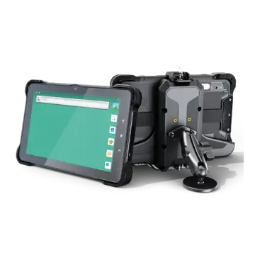
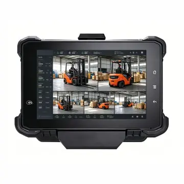
In modern agriculture, efficiency is driven by centimeter-level precision. Rugged Android RTK tablets are mounted in tractor and harvester cabs to serve as the primary console for auto-steering and guidance systems. By tracking precise GNSS coordinates, these tablets guide machinery along optimized paths, preventing overlapping passes during seeding, spraying, and harvesting. This reduces fuel consumption, seed waste, and chemical use. 3Rtablet's 10-inch rugged tablets, featuring robust docking stations and high-vibration resistance, are ideally suited for these demanding agricultural environments.
On construction sites, earthmoving equipment such as excavators, bulldozers, and graders rely on GNSS data to perform grading operations. OEM Android tablets serve as the human-machine interface (HMI), displaying 3D CAD design models relative to the machine's real-time physical position. This allows operators to cut and fill soil with extreme accuracy, eliminating the need for manual grade checking. Field engineers also use hand-held rugged tablets to stake out layout points and perform as-built surveys.
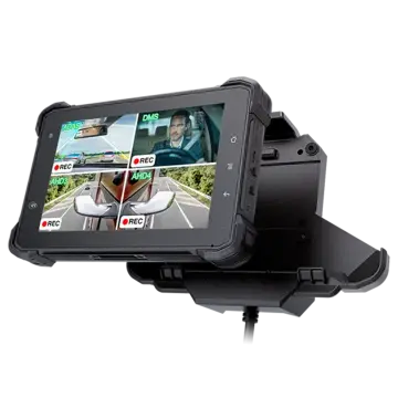
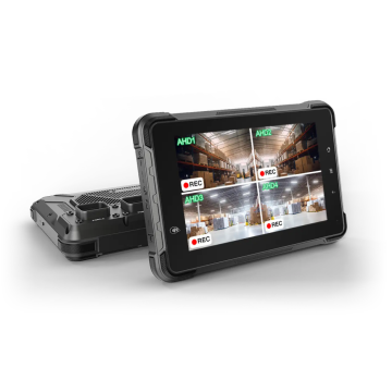
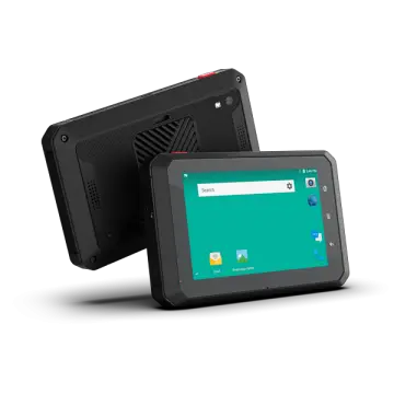
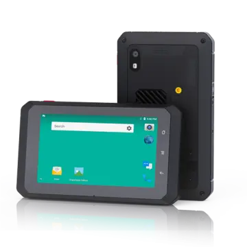
Municipalities and utility companies must map underground gas pipes, water mains, and fiber-optic cables. Field crews equipped with compact 7-inch or 8-inch Android GNSS tablets can walk utility alignments, capture sub-meter or centimeter-level coordinates, and document assets with high-resolution photos. Integrated multi-channel AHD camera support allows for visual site documentation, while internal 4G connections allow mapping data to be uploaded directly to centralized GIS databases.
Open-pit mining environments are characterized by heavy dust, extreme temperatures, and constant vibration. In these settings, rugged tablets are used for fleet dispatching, collision avoidance, and drill guidance. High-precision GNSS ensures that drill rigs are aligned correctly according to the blast plan, improving safety and fragmentation efficiency. The tablets' rugged design ensures they survive the constant shocks and vibrations of heavy mining machinery.
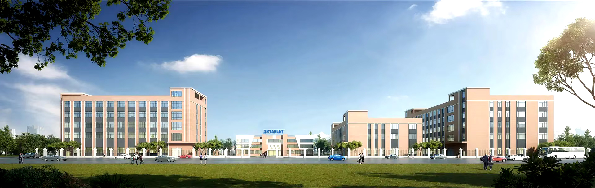
Technology-based, market-oriented, innovative enterprise that develops and manufactures rugged Internet of Vehicles (IOV) terminals and IOT system solutions. With more than 18 years of professional experience, 3Rtablet has cooperated with many top brand telematics solution providers around the world, and the products are widely recognized for their stable performance and professional technical support.
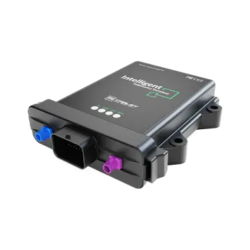
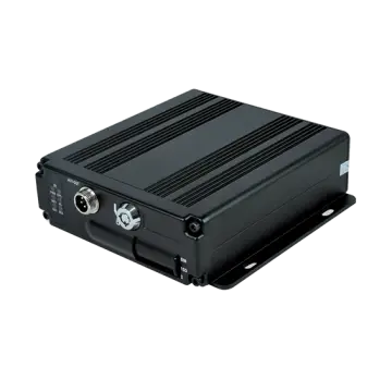
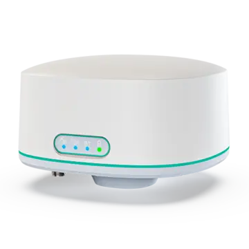
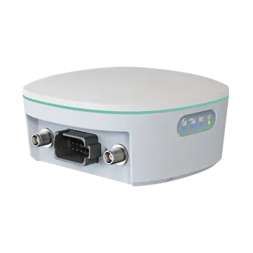
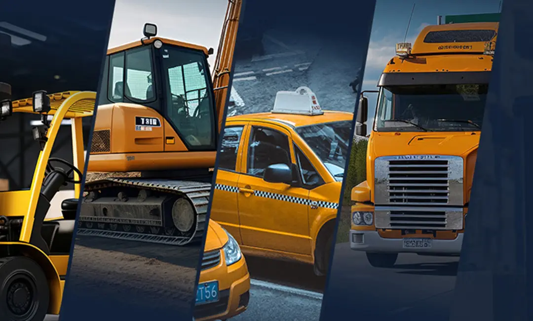
The main products include IP67 rugged tablets, MDM Rugged Device, Intelligent Vehicle Telematics Terminal, and RTK Base Station and Receiver, On-board Computers, Mobile Data Terminal, Agriculture display, Vehicle-mounted Tablets, AHD Camera Integrated Tablets, IP67/IP69K Android telematics boxes, MDVR and AI Dashcam. AI algorithmic vehicle video surveillance and recording technology and comprehensive IoT solutions for a wide range of fleet management application, including ELD/HOS in trucks, construction equipment, mining, forklift safety, taxi dispatch, agriculture precision, intelligent transportation systems, etc. Offering OEM/ODM services, we customize products to meet specific needs.
3Rtablet R&D team with more than 18 years field experience to do technical support, and has been ready to support you in building professional solutions in specific markets.
Explore our full portfolio of rugged Android and Linux terminals designed for industrial integration, fleet management, and high-precision mapping.